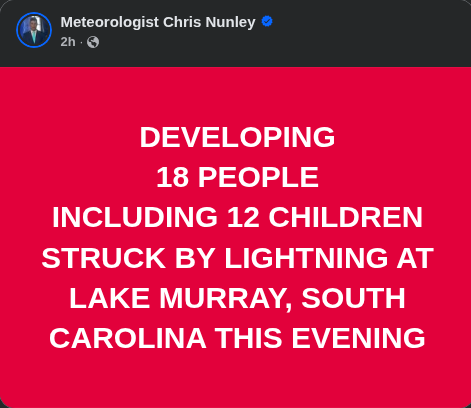
This terrible event sounds like just a normal thunderstorm and I almost believed it was if it was not for the watchful eyes on the radars have I seen weird atmospheric discharges within the last few days. Today, in Tennessee, I was able to capture and observe and ultra-slow thunderstorm from above Pigeon Forge. A storm slow moving started from the high heat and super dry conditions producing vast amount of lightening.
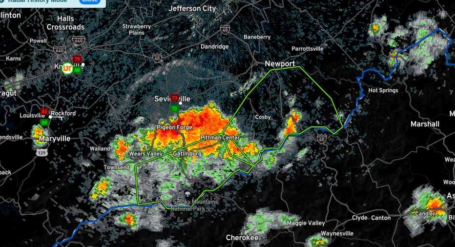
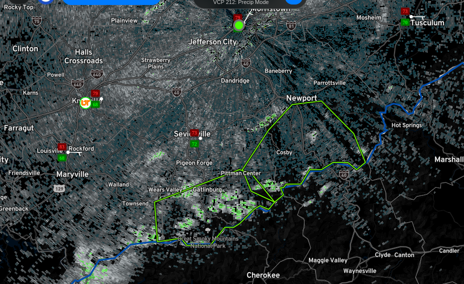
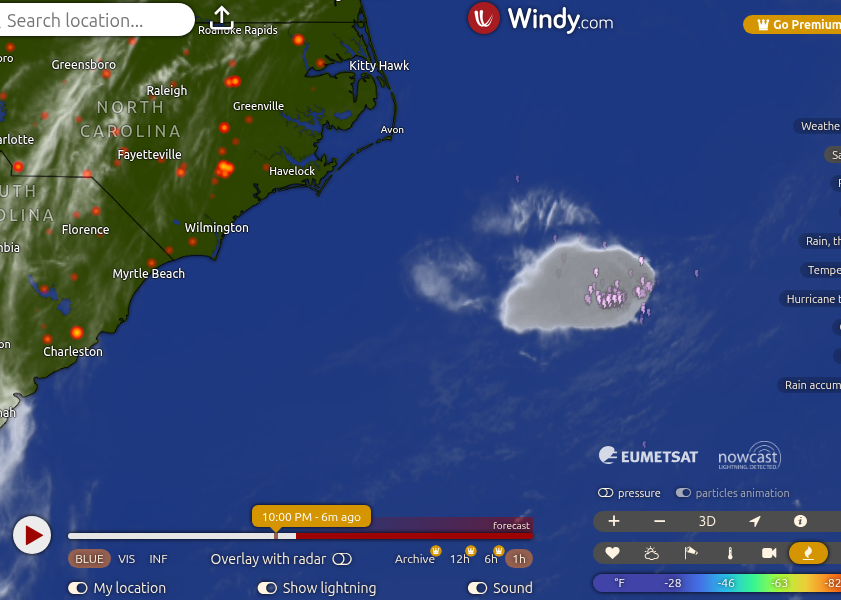
Screenshot was the TN event little after 6:30PM EST. Below is the current radar as of this post.
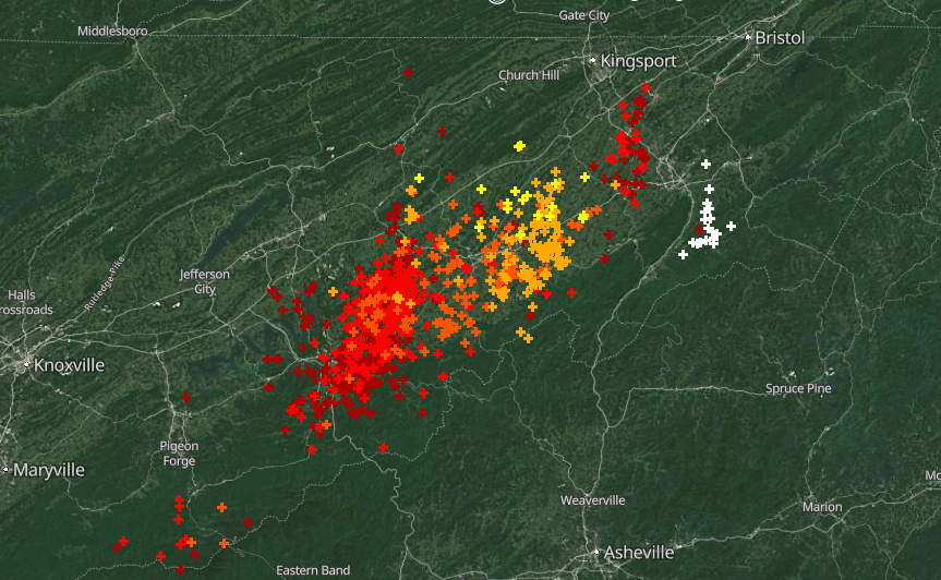
The high cloud formation matches what is showing in South Carolina, as well as North Carolina and Georgia. The biggest is out in the Atlantic ocean which seems to be highly active.
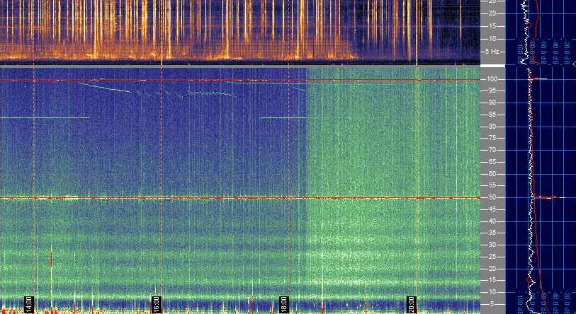
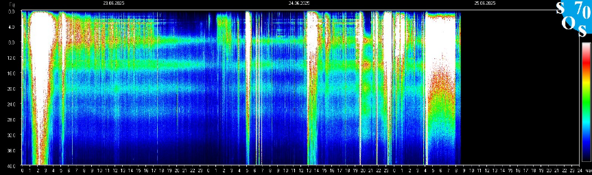
All indicators are pointing to high energy in the atmosphere. This static discharge is just a tiny blimp of bigger and more dangerous storms to come. Best to keep an eye on not only the thunderstorms in the areas under the heat bubble, but how they are spawning.
Leave a Reply